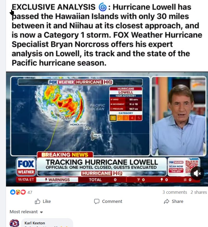
stock here: Why are they claiming Kauai looks like “A War Zone”? It was a Cat 2 Hurricane, and 70 Miles Away
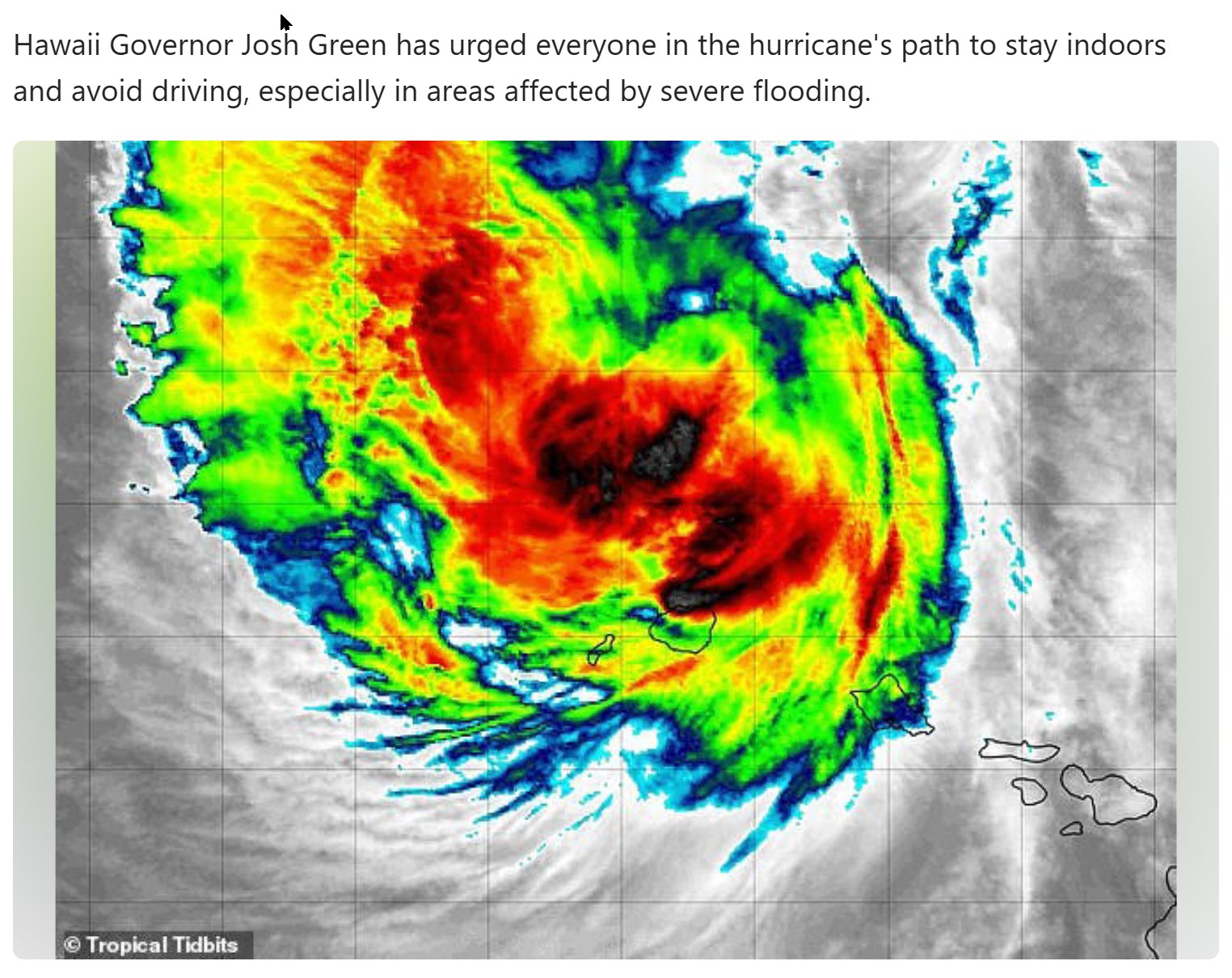
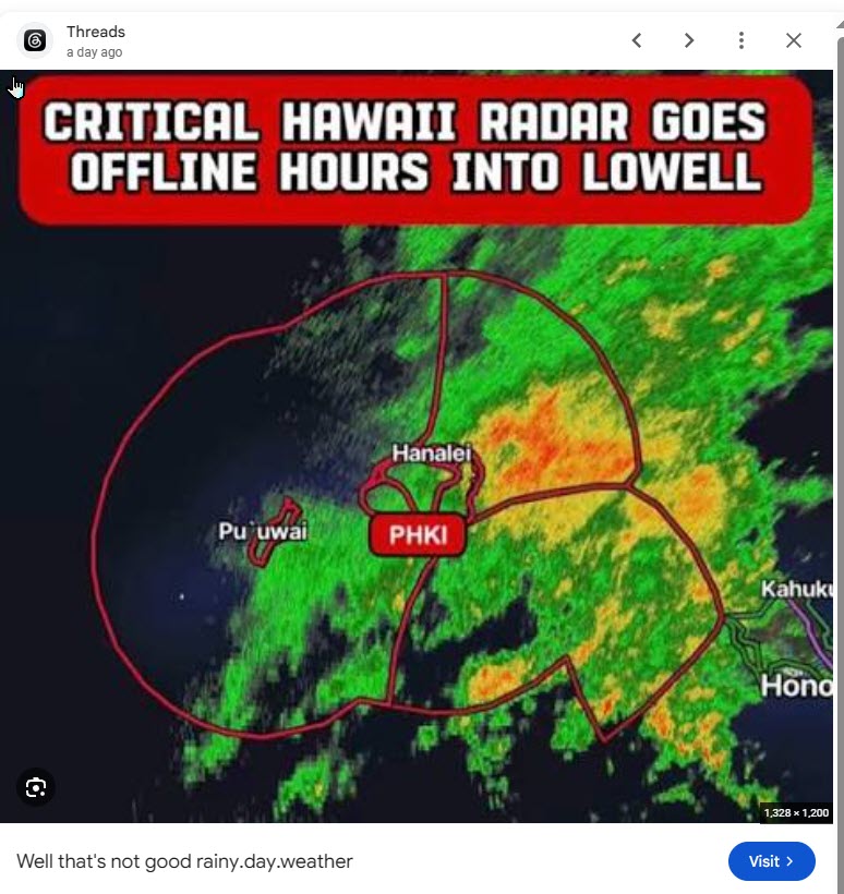
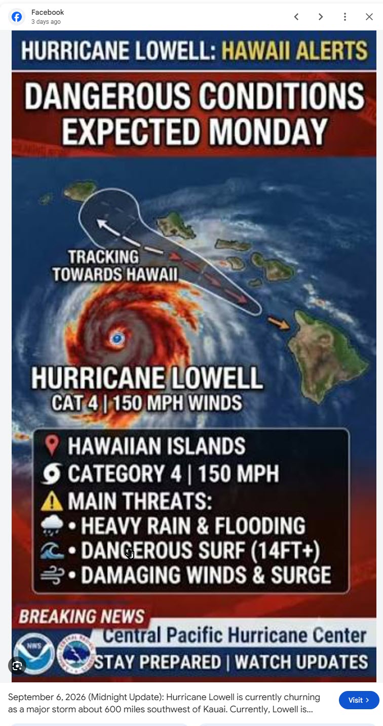
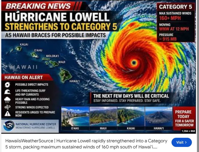
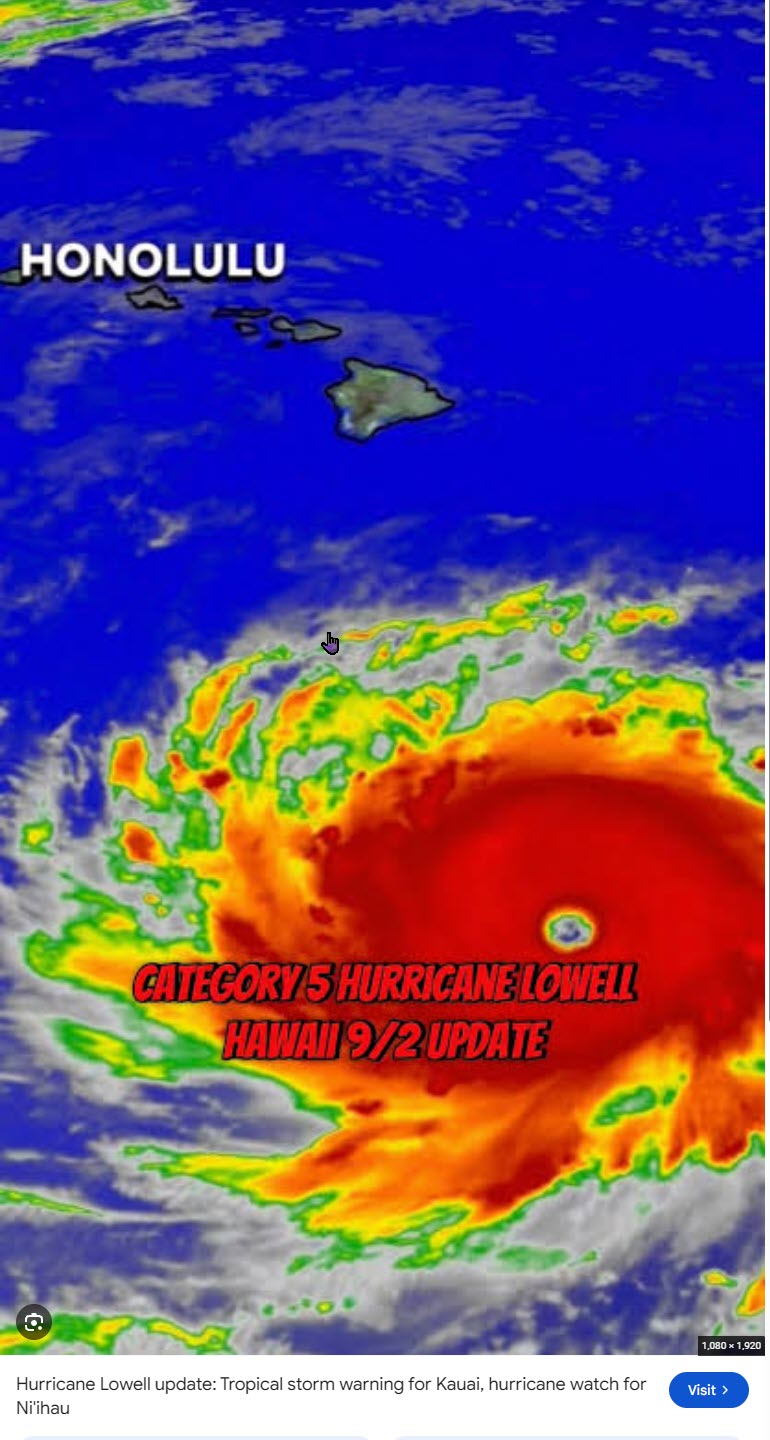
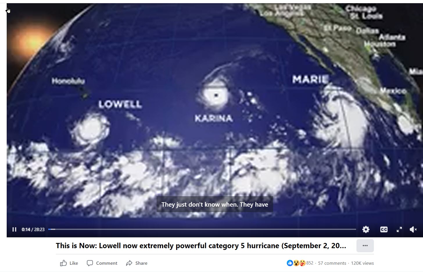
Looks at the images at the bottom, these are fabrications to create fear. Facebook and Instagram seem to be the worst offenders. I saw one on a Hawaii News channel that looked like Lowell was just pounding Oahu and Kauai, and nothing on radar, IR, or visible looked even close. I didn’t screen cap it, and couldn’t find it again.
Here is one of the worst fabrications….
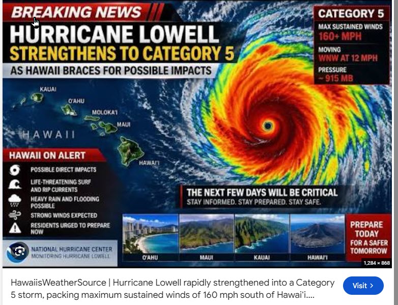
Although Hurricane Lowell’s advertised maximum wind was around 130 mph, Kauaʻi itself generally did not receive 130 mph winds. That figure applied to the hurricane’s compact inner core near the eyewall.
Reported on Kauaʻi:
- Līhuʻe Airport sustained wind: just over 50 mph
- Strongest reported gusts: approximately 80 mph
- Likely general island exposure: 40–55 mph sustained, with 60–80 mph gusts
- Mountain ridges, exposed headlands, and wind-accelerated gaps could have experienced locally stronger gusts, but reliable final station totals are not yet assembled.
AP reported sustained winds slightly above 50 mph at Līhuʻe and gusts reaching about 80 mph.
Why only 50–80 mph when the hurricane was 130 mph?
The wind does not decrease proportionally with mileage. It depends on the storm’s wind-field geometry:
- 130 mph existed close to the eyewall.
- Hurricane-force winds extended roughly 50 miles from the center during the approach.
- Tropical-storm-force winds extended as far as roughly 175 miles.
- If Kauaʻi was around 70 miles from the center, it was largely outside the core but well inside the broad tropical-storm wind field.
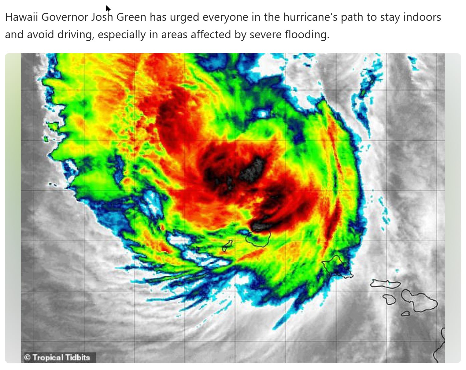
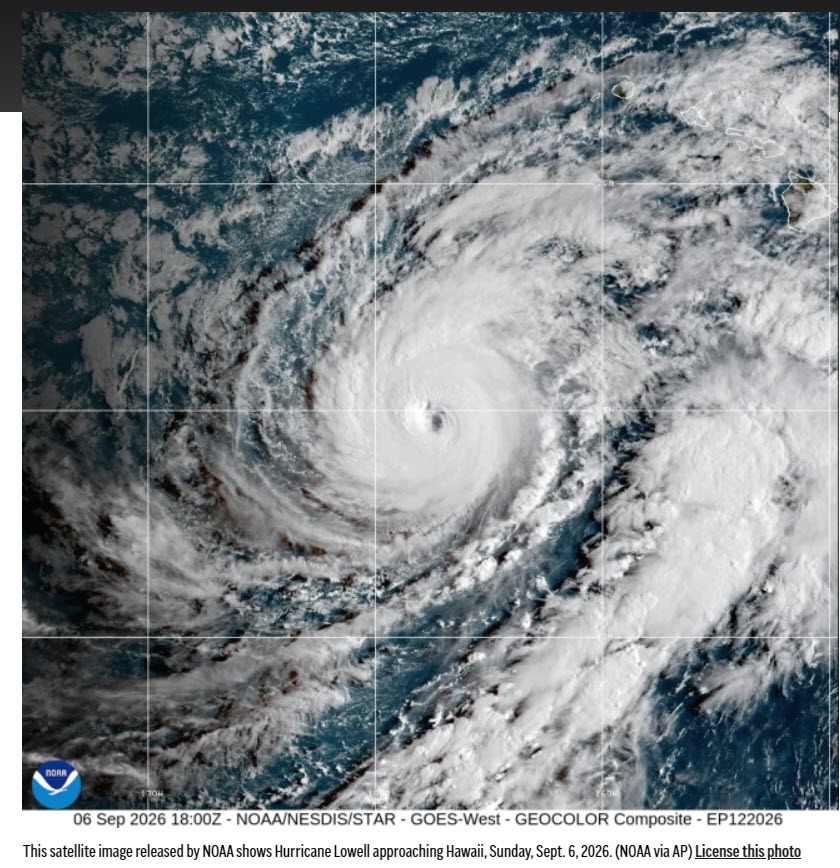
This image looks completely made up, this looks like a direct hit, it was not. The media is over hyping the reality, for what purpose? To sell some climate change bullshit?